


ARAVIS: POINTE D'ORSIERE

djeepee74
User
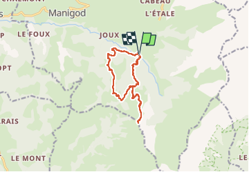

Length
12 km

Max alt
1748 m

Uphill gradient
849 m
Km-Effort
23 km

Min alt
959 m

Downhill gradient
848 m
Boucle
Yes
Creation date :
2022-08-06 07:31:50.626
Updated on :
2022-08-07 09:33:39.083
4h19
Difficulty : Difficult

FREE GPS app for hiking
 SityTrail
IGN / Geographical institutes
SityTrail Plus
The world is yours!
About
Trail Walking of 12 km to be discovered at Auvergne-Rhône-Alpes, Upper Savoy, Manigod. This trail is proposed by djeepee74.
Description
BOUCLE... live de Cris & Karine du 20220806
Très jolie randonnée, qui grimpe bien raide au début, mais qui rejoint ensuite une piste.Très beaux paysages à 360°C
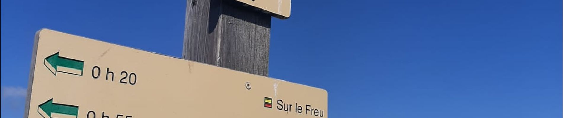
Photos


Positioning
Country:
France
Region :
Auvergne-Rhône-Alpes
Department/Province :
Upper Savoy
Municipality :
Manigod
Location:
Unknown
Start:(Dec)
Start:(UTM)
298556 ; 5080250 (32T) N.
Comments