


eta 2

Vadim
User
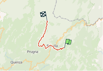

Length
17.5 km

Max alt
1548 m

Uphill gradient
1067 m
Km-Effort
30 km

Min alt
1002 m

Downhill gradient
541 m
Boucle
No
Creation date :
2022-08-06 04:11:23.0
Updated on :
2022-08-07 04:55:25.187
6h55
Difficulty : Unknown

FREE GPS app for hiking
 SityTrail
IGN / Geographical institutes
SityTrail Plus
The world is yours!
About
Trail Walking of 17.5 km to be discovered at Corsica, South Corsica, Conca. This trail is proposed by Vadim.
Description
xxx
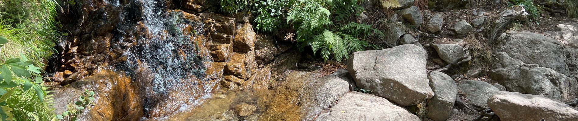
Photos


Positioning
Country:
France
Region :
Corsica
Department/Province :
South Corsica
Municipality :
Conca
Location:
Unknown
Start:(Dec)
Start:(UTM)
521281 ; 4626712 (32T) N.
Comments