


Libin - Parcours VTT de la Roche de Contranhé
La Grande Forêt de Saint-Hubert
Randonnées de la Grande Forêt de Saint-Hubert GUIDE+
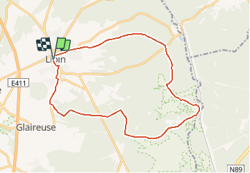

Length
16.1 km

Max alt
523 m

Uphill gradient
327 m
Km-Effort
20 km

Min alt
390 m

Downhill gradient
325 m
Boucle
Yes

Signpost
Creation date :
2018-01-08 00:00:00.0
Updated on :
2020-04-22 09:04:42.26
1h20
Difficulty : Easy

FREE GPS app for hiking
 SityTrail
IGN / Geographical institutes
SityTrail Plus
The world is yours!
About
Trail Mountain bike of 16.1 km to be discovered at Wallonia, Luxembourg, Libin. This trail is proposed by La Grande Forêt de Saint-Hubert.
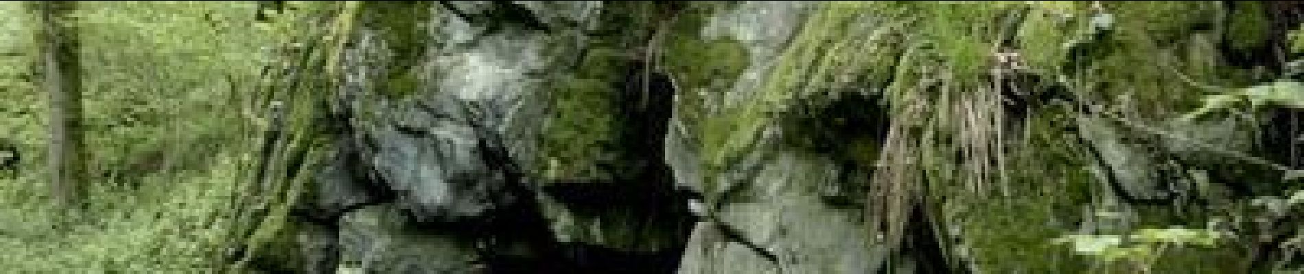
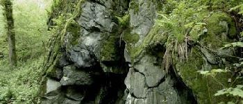
Photos


Positioning
Country:
Belgium
Region :
Wallonia
Department/Province :
Luxembourg
Municipality :
Libin
Location:
Libin
Start:(Dec)
Start:(UTM)
661744 ; 5538913 (31U) N.
Comments
Beau parcours en grande partie forestier.