


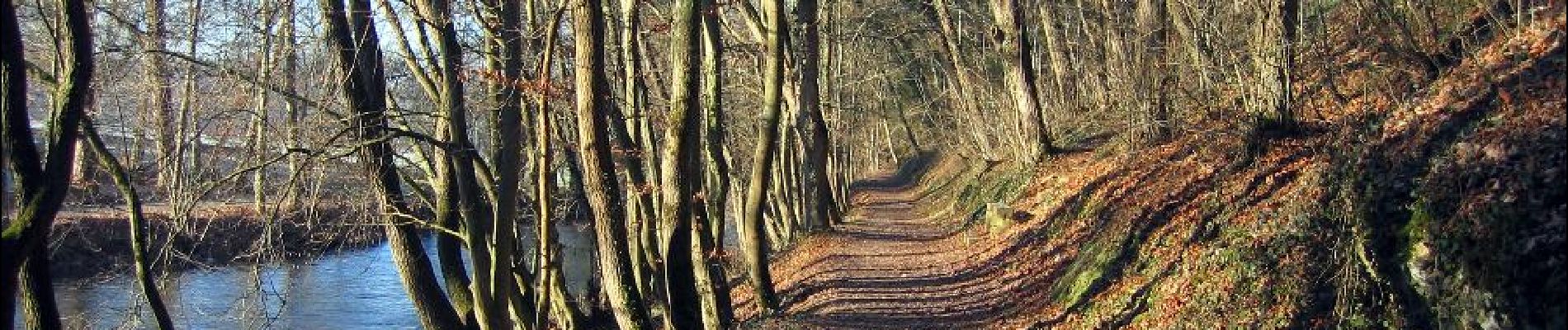
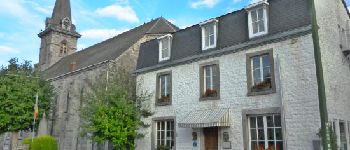
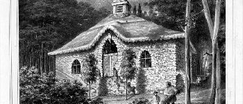
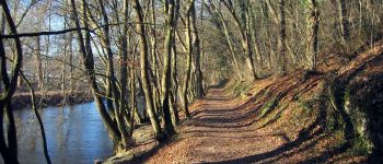
Resteigne - Promenade du château au presbytère
La Grande Forêt de Saint-Hubert
Randonnées de la Grande Forêt de Saint-Hubert GUIDE+


Length
1.8 km

Max alt
205 m

Uphill gradient
28 m
Km-Effort
2.2 km

Min alt
181 m

Downhill gradient
28 m
Boucle
Yes

Signpost
Creation date :
2017-05-08 00:00:00.0
Updated on :
2017-05-08 00:00:00.0
28m
Difficulty : Easy

FREE GPS app for hiking
 SityTrail
IGN / Geographical institutes
SityTrail Plus
The world is yours!
About
Trail Walking of 1.8 km to be discovered at Wallonia, Luxembourg, Tellin. This trail is proposed by La Grande Forêt de Saint-Hubert.
Photos


Points of interest


Positioning
Country:
Belgium
Region :
Wallonia
Department/Province :
Luxembourg
Municipality :
Tellin
Location:
Resteigne
Start:(Dec)
Start:(UTM)
655636 ; 5550963 (31U) N.
Comments