


Tour pont de l’amour Cédric

pconte
User
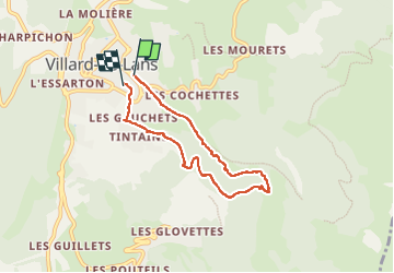

Length
6.2 km

Max alt
1278 m

Uphill gradient
244 m
Km-Effort
9.5 km

Min alt
1015 m

Downhill gradient
269 m
Boucle
Yes
Creation date :
2022-08-08 13:25:16.0
Updated on :
2022-08-08 15:39:15.769
2h12
Difficulty : Medium

FREE GPS app for hiking
 SityTrail
IGN / Geographical institutes
SityTrail Plus
The world is yours!
About
Trail Walking of 6.2 km to be discovered at Auvergne-Rhône-Alpes, Isère, Villard-de-Lans. This trail is proposed by pconte.
Positioning
Country:
France
Region :
Auvergne-Rhône-Alpes
Department/Province :
Isère
Municipality :
Villard-de-Lans
Location:
Unknown
Start:(Dec)
Start:(UTM)
701252 ; 4993826 (31T) N.
Comments