


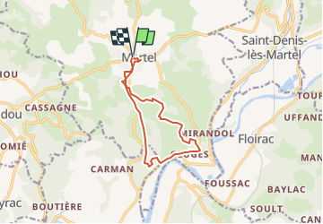

22 km | 28 km-effort


User


FREE GPS app for hiking
 SityTrail
IGN / Geographical institutes
SityTrail World
The world is yours!
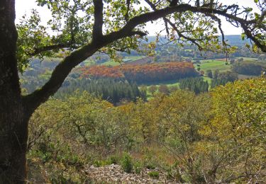
Trail Walking of 11.2 km to be discovered at Occitania, Lot, Martel. This trail is proposed by pidjam.
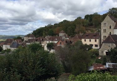
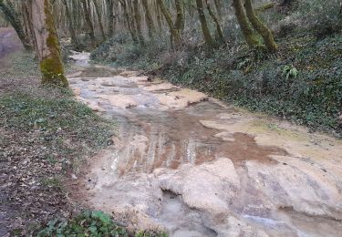
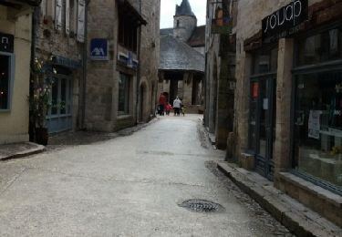
Randonnée à Martel vers Gluges
Walking

Walking
Walking

Walking

Walking

Mountain bike

Motorbike
Walking