Marcelly

Iahns
User
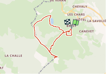

Length
8.1 km

Max alt
1975 m

Uphill gradient
577 m
Km-Effort
15.8 km

Min alt
1499 m

Downhill gradient
578 m
Boucle
Yes
Creation date :
2022-08-09 07:06:18.654
Updated on :
2022-08-09 12:46:41.623
5h40
Difficulty : Difficult

FREE GPS app for hiking
 SityTrail
IGN / Geographical institutes
SityTrail Plus
The world is yours!
About
Trail Walking of 8.1 km to be discovered at Auvergne-Rhône-Alpes, Upper Savoy, Taninges. This trail is proposed by Iahns.
Positioning
Country:
France
Region :
Auvergne-Rhône-Alpes
Department/Province :
Upper Savoy
Municipality :
Taninges
Location:
Unknown
Start:(Dec)
Start:(UTM)
313496 ; 5112443 (32T) N.
Comments