


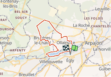
Rumba à Egly

philou91
User

Length
13.1 km

Max alt
121 m

Uphill gradient
138 m
Km-Effort
15 km

Min alt
47 m

Downhill gradient
138 m
Boucle
Yes
Creation date :
2022-08-09 08:12:48.561
Updated on :
2022-08-10 12:56:55.242
4h31
Difficulty : Medium

FREE GPS app for hiking
 SityTrail
IGN / Geographical institutes
SityTrail Plus
The world is yours!
About
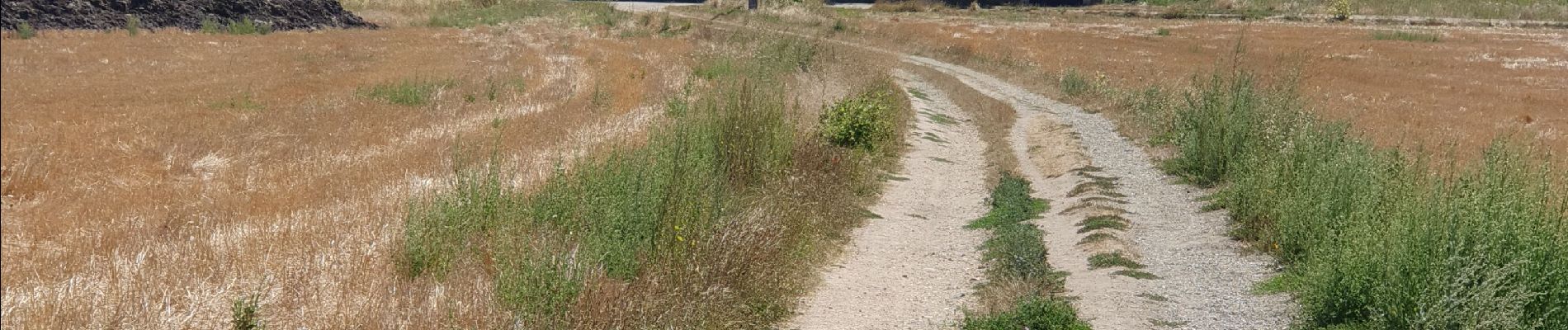
Trail Walking of 13.1 km to be discovered at Ile-de-France, Essonne, Égly. This trail is proposed by philou91.
Photos


Positioning
Country:
France
Region :
Ile-de-France
Department/Province :
Essonne
Municipality :
Égly
Location:
Unknown
Start:(Dec)
Start:(UTM)
442617 ; 5381227 (31U) N.
Comments