


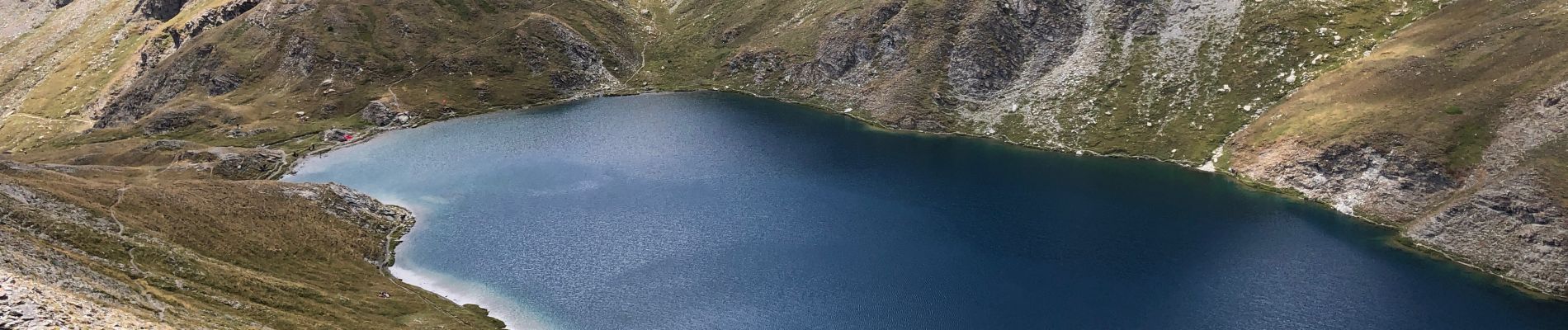
Pic de Malrif par le lac

edevuyst
User


Length
11.5 km

Max alt
2888 m

Uphill gradient
918 m
Km-Effort
24 km

Min alt
1967 m

Downhill gradient
921 m
Boucle
Yes
Creation date :
2022-08-11 08:24:27.0
Updated on :
2022-08-11 13:01:01.983
3h26
Difficulty : Very difficult

FREE GPS app for hiking
 SityTrail
IGN / Geographical institutes
SityTrail Plus
The world is yours!
About
Trail Walking of 11.5 km to be discovered at Provence-Alpes-Côte d'Azur, Hautes-Alpes, Aiguilles. This trail is proposed by edevuyst.
Photos


Positioning
Country:
France
Region :
Provence-Alpes-Côte d'Azur
Department/Province :
Hautes-Alpes
Municipality :
Aiguilles
Location:
Unknown
Start:(Dec)
Start:(UTM)
331192 ; 4962864 (32T) N.
Comments