


CHAILLAND JUBLAINS

leclaude74
User

Length
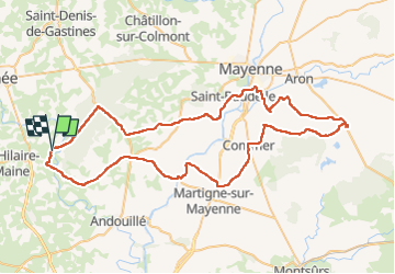
79 km

Max alt
191 m

Uphill gradient
854 m
Km-Effort
90 km

Min alt
72 m

Downhill gradient
852 m
Boucle
Yes
Creation date :
2022-08-11 06:03:29.895
Updated on :
2022-08-11 17:14:05.843
3h50
Difficulty : Medium

FREE GPS app for hiking
 SityTrail
IGN / Geographical institutes
SityTrail Plus
The world is yours!
About
Trail Road bike of 79 km to be discovered at Pays de la Loire, Mayenne, Chailland. This trail is proposed by leclaude74.
Description
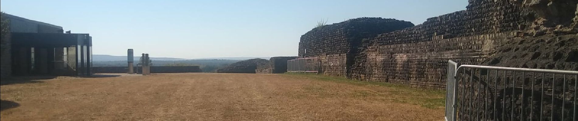
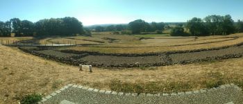
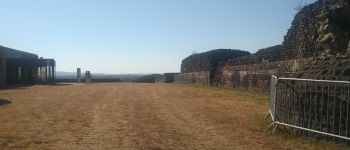
Boucle sympa pour aller visiter les ruines romaines de Jublains .
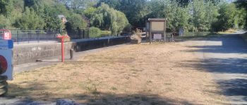
Sur le retour 100 M sur la nationale N° 162 , sinon que des petites routes . Même une partie gravel sur les bords de la Mayenne .
Photos


Positioning
Country:
France
Region :
Pays de la Loire
Department/Province :
Mayenne
Municipality :
Chailland
Location:
Unknown
Start:(Dec)
Start:(UTM)
658503 ; 5344688 (30U) N.
Comments