


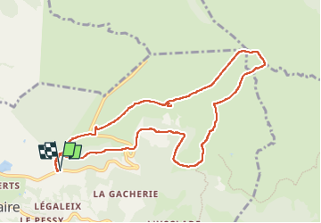

10.6 km | 14.6 km-effort


User GUIDE


FREE GPS app for hiking
 SityTrail
IGN / Geographical institutes
SityTrail World
The world is yours!
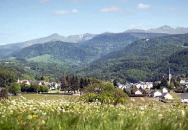
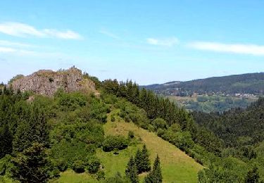
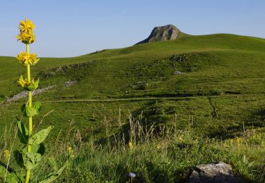
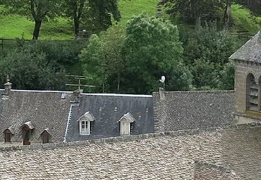
Trail Walking of 10.4 km to be discovered at Auvergne-Rhône-Alpes, Puy-de-Dôme, Murat-le-Quaire. This trail is proposed by antignacs.
Balade magnifique si départ assez tôt
7h en août


Walking

Walking
Walking
Walking

Walking

Walking

Walking

On foot
On foot