


puydarrieux G4fait 2022

LouisROGER
User GUIDE
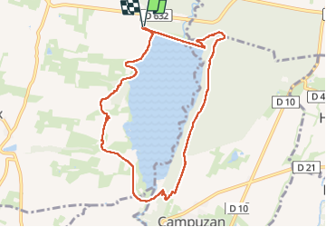

Length
9.4 km

Max alt
329 m

Uphill gradient
141 m
Km-Effort
11.3 km

Min alt
263 m

Downhill gradient
142 m
Boucle
Yes
Creation date :
2022-08-19 07:46:56.865
Updated on :
2022-08-19 12:39:36.594
4h51
Difficulty : Medium

FREE GPS app for hiking
 SityTrail
IGN / Geographical institutes
SityTrail Plus
The world is yours!
About
Trail Walking of 9.4 km to be discovered at Occitania, Hautespyrenees, Puydarrieux. This trail is proposed by LouisROGER.
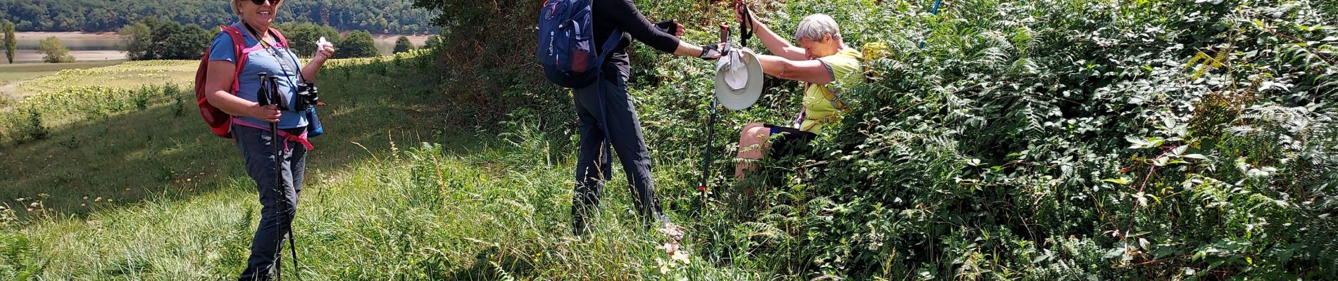
Photos

Positioning
Country:
France
Region :
Occitania
Department/Province :
Hautespyrenees
Municipality :
Puydarrieux
Location:
Unknown
Start:(Dec)
Start:(UTM)
290690 ; 4797131 (31T) N.
Comments