


de-wijers-de-teut-instapplaats-donderslagseweg-blauw

Benjamin27
User GUIDE


58m
Difficulty : Easy

FREE GPS app for hiking
 SityTrail
IGN / Geographical institutes
SityTrail Plus
The world is yours!
About
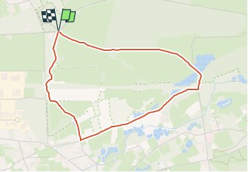
Trail Walking of 3.8 km to be discovered at Flanders, Limburg, Zonhoven. This trail is proposed by Benjamin27.
Description
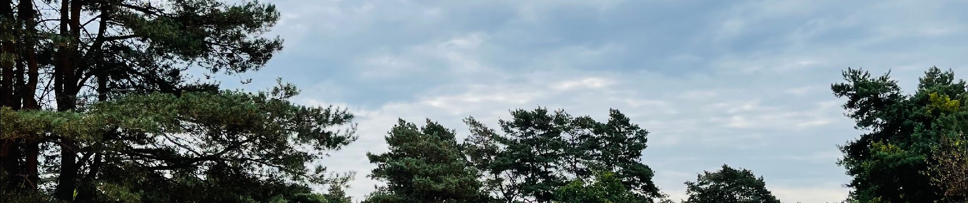
De mi-août à mi-septembre, la bruyère mauve de cette magnifique réserve naturelle fleurit. Vous vous promenez donc littéralement à travers des champs violets et passerez même à côté d’un grand lac, d’un joli marais et d’un petit etang… les pieds dans le sable.
👣 Distance : 3,8km - balise losange bleu.
🗺️ Carte / Fichier GPX en bio.
📍Départ : parking prévu, Donderslagseweg 32 - 3520 Zonhoven.
💡De mi-août à mi-septembre, les bruyères sont en fleurs. Je vous conseille d’effectuer la promenade à cette période.
🚂🚍 Aller jusqu´à la gare de Hasselt, prendre le bus DE LIJN 48 jusqu’à l’arrêt « Zonhoven - De Teut » et marcher jusqu’au point de départ.
Photos


Positioning
Comments