


sciez, camping GCU

francislassauce
User
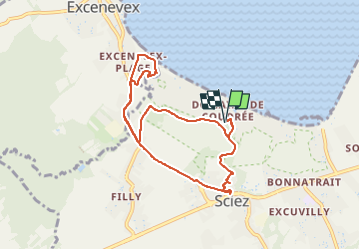

Length
8.4 km

Max alt
400 m

Uphill gradient
67 m
Km-Effort
9.3 km

Min alt
370 m

Downhill gradient
67 m
Boucle
Yes
Creation date :
2022-08-23 08:56:35.077
Updated on :
2022-08-23 10:07:11.507
1h10
Difficulty : Very easy

FREE GPS app for hiking
 SityTrail
IGN / Geographical institutes
SityTrail Plus
The world is yours!
About
Trail Running of 8.4 km to be discovered at Auvergne-Rhône-Alpes, Upper Savoy, Sciez. This trail is proposed by francislassauce.
Description
retour en bord de route à grande circulation...nul...
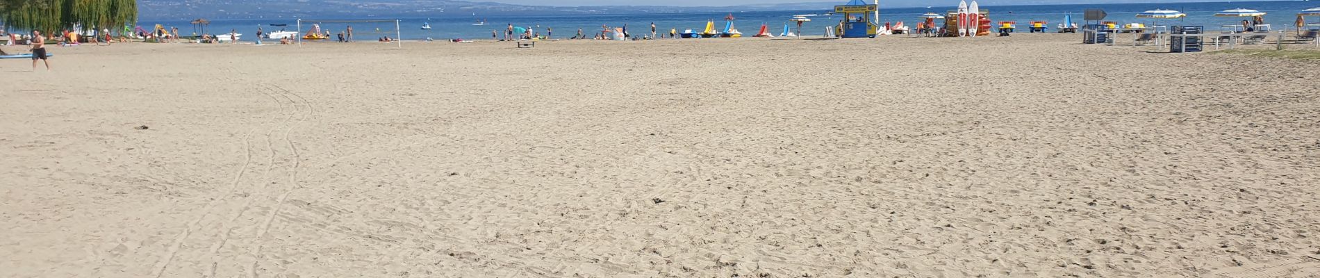
Photos

Positioning
Country:
France
Region :
Auvergne-Rhône-Alpes
Department/Province :
Upper Savoy
Municipality :
Sciez
Location:
Unknown
Start:(Dec)
Start:(UTM)
297931 ; 5135244 (32T) N.
Comments