


Mont Noir l'Adroit 20220824

cmike39
User
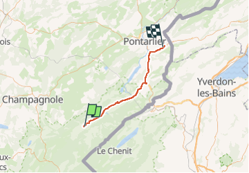

Length
43 km

Max alt
1070 m

Uphill gradient
483 m
Km-Effort
50 km

Min alt
856 m

Downhill gradient
596 m
Boucle
No
Creation date :
2022-08-24 08:06:48.174
Updated on :
2022-08-24 10:13:36.388
2h06
Difficulty : Very easy

FREE GPS app for hiking
 SityTrail
IGN / Geographical institutes
SityTrail Plus
The world is yours!
About
Trail Car of 43 km to be discovered at Bourgogne-Franche-Comté, Doubs, Châtelblanc. This trail is proposed by cmike39.
Positioning
Country:
France
Region :
Bourgogne-Franche-Comté
Department/Province :
Doubs
Municipality :
Châtelblanc
Location:
Unknown
Start:(Dec)
Start:(UTM)
279341 ; 5172682 (32T) N.
Comments