


Modette

sameja
User
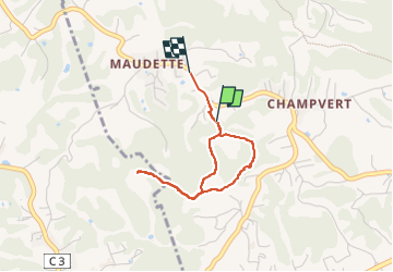

Length
3.9 km

Max alt
111 m

Uphill gradient
105 m
Km-Effort
5.2 km

Min alt
22 m

Downhill gradient
81 m
Boucle
No
Creation date :
2022-08-25 11:31:03.0
Updated on :
2022-08-25 12:57:22.712
57m
Difficulty : Very easy

FREE GPS app for hiking
 SityTrail
IGN / Geographical institutes
SityTrail Plus
The world is yours!
About
Trail Walking of 3.9 km to be discovered at Guadeloupe, Unknown, Sainte-Anne. This trail is proposed by sameja.
Description
Balade
Positioning
Country:
France
Region :
Guadeloupe
Department/Province :
Unknown
Municipality :
Sainte-Anne
Location:
Unknown
Start:(Dec)
Start:(UTM)
668889 ; 1795019 (20Q) N.
Comments