


WK_route_kp17_Zuid-Dijleland_1570180222

Benjamin27
User GUIDE
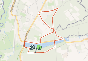

Length
4.5 km

Max alt
87 m

Uphill gradient
81 m
Km-Effort
5.5 km

Min alt
30 m

Downhill gradient
82 m
Boucle
Yes
Creation date :
2022-08-25 14:50:05.191
Updated on :
2022-08-26 00:12:31.948
1h15
Difficulty : Easy

FREE GPS app for hiking
 SityTrail
IGN / Geographical institutes
SityTrail Plus
The world is yours!
About
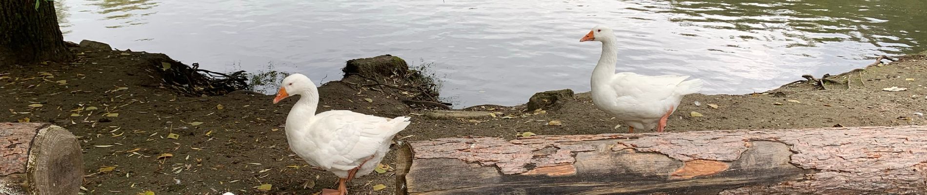
Trail Walking of 4.5 km to be discovered at Flanders, Flemish Brabant, Oud-Heverlee. This trail is proposed by Benjamin27.
Photos

Points of interest


Positioning
Country:
Belgium
Region :
Flanders
Department/Province :
Flemish Brabant
Municipality :
Oud-Heverlee
Location:
Oud-Heverlee
Start:(Dec)
Start:(UTM)
616697 ; 5631230 (31U) N.
Comments