


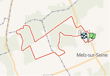


10.9 km | 11.9 km-effort

User


FREE GPS app for hiking
 SityTrail
IGN / Geographical institutes
SityTrail World
The world is yours!
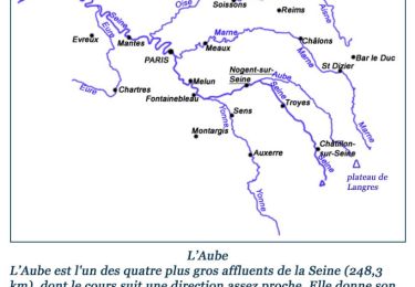
Trail Walking of 11.2 km to be discovered at Ile-de-France, Seine-et-Marne, Melz-sur-Seine. This trail is proposed by Olivier F..
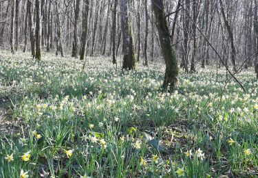
Blunay - Forêts - Blunay


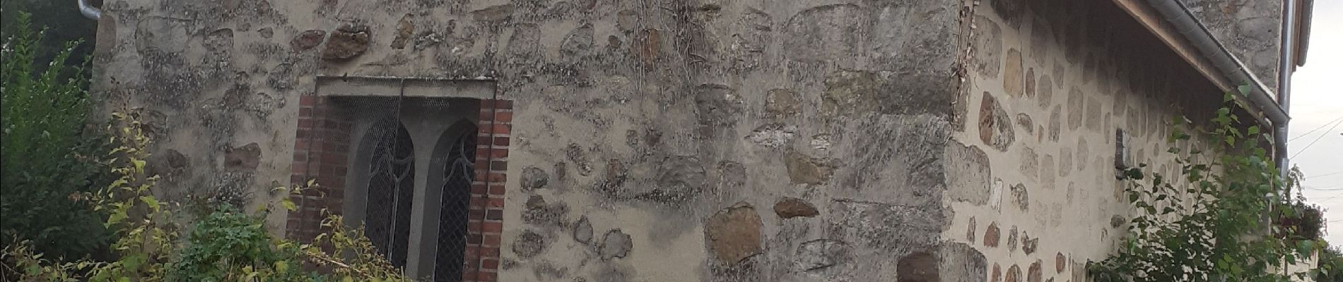
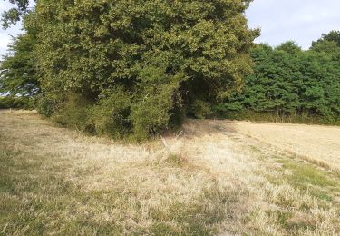
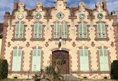
49 photos in total. Please click on a photo to see them all in the gallery.
Walking
Walking
Other activity
Walking

Walking
Walking
Walking
Walking
Walking