ile de rhinau2

apa
User
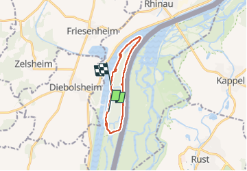

Length
10.4 km

Max alt
172 m

Uphill gradient
94 m
Km-Effort
11.6 km

Min alt
155 m

Downhill gradient
91 m
Boucle
No
Creation date :
2022-08-26 08:25:57.501
Updated on :
2022-08-26 12:55:34.509
2h45
Difficulty : Medium

FREE GPS app for hiking
 SityTrail
IGN / Geographical institutes
SityTrail Plus
The world is yours!
About
Trail Walking of 10.4 km to be discovered at Grand Est, Bas-Rhin, Rhinau. This trail is proposed by apa.
Description
joliiiii
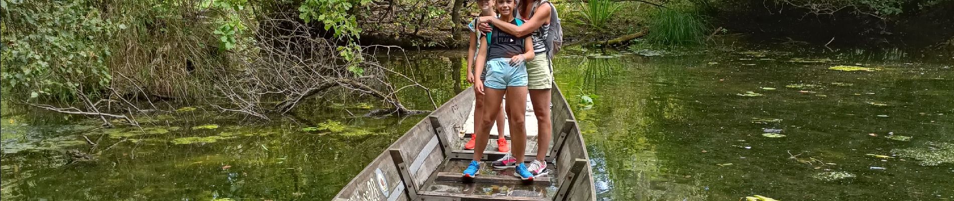
Photos


Positioning
Country:
France
Region :
Grand Est
Department/Province :
Bas-Rhin
Municipality :
Rhinau
Location:
Unknown
Start:(Dec)
Start:(UTM)
402104 ; 5348469 (32U) N.
Comments