


PLO de VALBELLE

boudpn
User
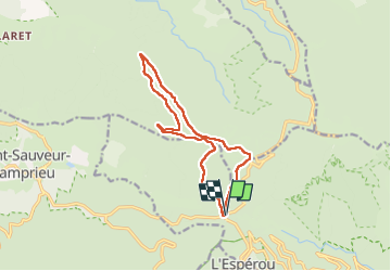

Length
13.9 km

Max alt
1487 m

Uphill gradient
340 m
Km-Effort
18.5 km

Min alt
1298 m

Downhill gradient
340 m
Boucle
Yes
Creation date :
2022-08-28 07:14:34.0
Updated on :
2022-08-28 12:59:43.308
5h44
Difficulty : Difficult

FREE GPS app for hiking
 SityTrail
IGN / Geographical institutes
SityTrail Plus
The world is yours!
About
Trail Walking of 13.9 km to be discovered at Occitania, Gard, Val-d'Aigoual. This trail is proposed by boudpn.
Description
Super Ombragé 2 côtes très Faciles
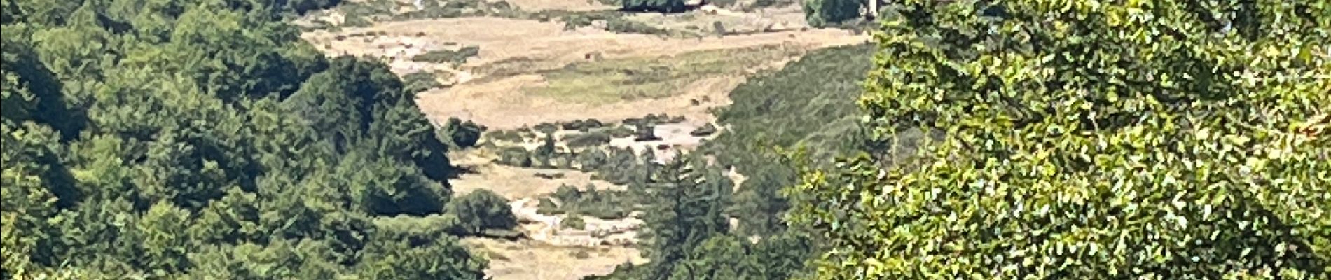
Photos


Positioning
Country:
France
Region :
Occitania
Department/Province :
Gard
Municipality :
Val-d'Aigoual
Location:
Valleraugue
Start:(Dec)
Start:(UTM)
543380 ; 4883510 (31T) N.
Comments