


La Maille - Pointe de St Quentin

tbrunet
User
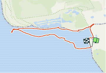

Length
9 km

Max alt
7 m

Uphill gradient
8 m
Km-Effort
9.1 km

Min alt
-1 m

Downhill gradient
12 m
Boucle
Yes
Creation date :
2022-08-31 10:35:58.004
Updated on :
2022-08-31 16:47:30.401
4h30
Difficulty : Medium

FREE GPS app for hiking
 SityTrail
IGN / Geographical institutes
SityTrail Plus
The world is yours!
About
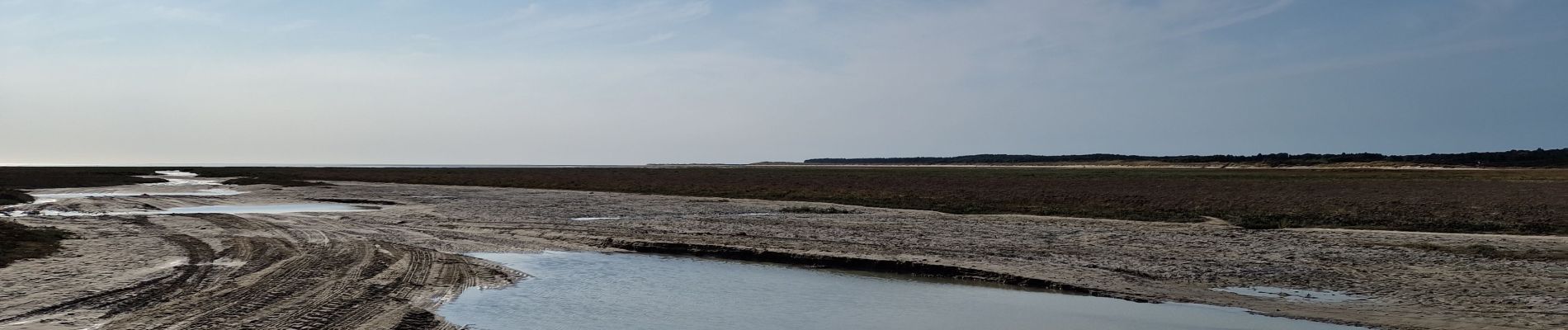
Trail Walking of 9 km to be discovered at Hauts-de-France, Somme, Le Crotoy. This trail is proposed by tbrunet.
Description
Faire le retour à marée descendante.
Photos


Positioning
Country:
France
Region :
Hauts-de-France
Department/Province :
Somme
Municipality :
Le Crotoy
Location:
Unknown
Start:(Dec)
Start:(UTM)
399721 ; 5567283 (31U) N.
Comments