


corde sur ciel

Paulodst
User


Length
2.4 km

Max alt
299 m

Uphill gradient
89 m
Km-Effort
3.6 km

Min alt
212 m

Downhill gradient
94 m
Boucle
Yes
Creation date :
2022-09-01 10:02:49.897
Updated on :
2022-09-01 10:56:42.131
53m
Difficulty : Easy

FREE GPS app for hiking
 SityTrail
IGN / Geographical institutes
SityTrail Plus
The world is yours!
About
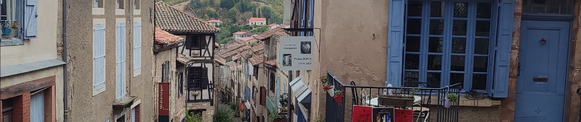
Trail Walking of 2.4 km to be discovered at Occitania, Tarn, Cordes-sur-Ciel. This trail is proposed by Paulodst.
Description
visite
Photos


Positioning
Country:
France
Region :
Occitania
Department/Province :
Tarn
Municipality :
Cordes-sur-Ciel
Location:
Unknown
Start:(Dec)
Start:(UTM)
416518 ; 4879360 (31T) N.
Comments