


Haybes rouge bleue

macrid
User
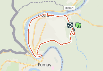

Length
7.6 km

Max alt
220 m

Uphill gradient
142 m
Km-Effort
9.5 km

Min alt
112 m

Downhill gradient
145 m
Boucle
Yes
Creation date :
2022-09-02 11:29:58.545
Updated on :
2022-09-02 14:14:30.27
2h08
Difficulty : Medium

FREE GPS app for hiking
 SityTrail
IGN / Geographical institutes
SityTrail Plus
The world is yours!
About
Trail Walking of 7.6 km to be discovered at Grand Est, Ardennes, Haybes. This trail is proposed by macrid.
Description
Super.
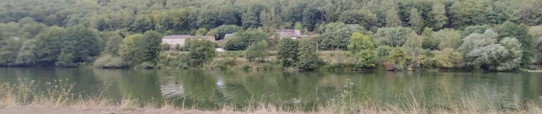
Photos


Positioning
Country:
France
Region :
Grand Est
Department/Province :
Ardennes
Municipality :
Haybes
Location:
Unknown
Start:(Dec)
Start:(UTM)
623476 ; 5540483 (31U) N.
Comments