


Rando à Genêts du 03-09-2022

VANDERPUTTENMi
User GUIDE
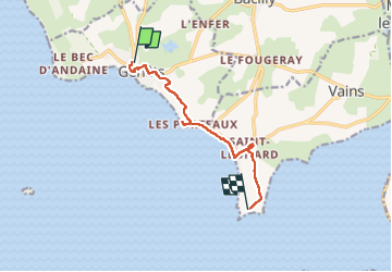

Length
7.5 km

Max alt
33 m

Uphill gradient
56 m
Km-Effort
8.2 km

Min alt
6 m

Downhill gradient
49 m
Boucle
No
Creation date :
2022-09-03 07:32:03.182
Updated on :
2022-09-05 17:56:32.408
1h52
Difficulty : Medium

FREE GPS app for hiking
 SityTrail
IGN / Geographical institutes
SityTrail Plus
The world is yours!
About
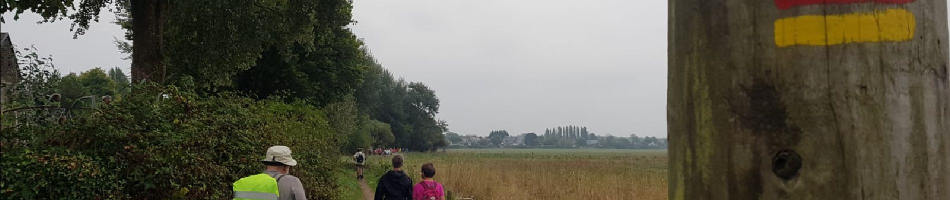
Trail Walking of 7.5 km to be discovered at Normandy, Manche, Genêts. This trail is proposed by VANDERPUTTENMi.
Photos

Positioning
Country:
France
Region :
Normandy
Department/Province :
Manche
Municipality :
Genêts
Location:
Unknown
Start:(Dec)
Start:(UTM)
611909 ; 5393784 (30U) N.
Comments