


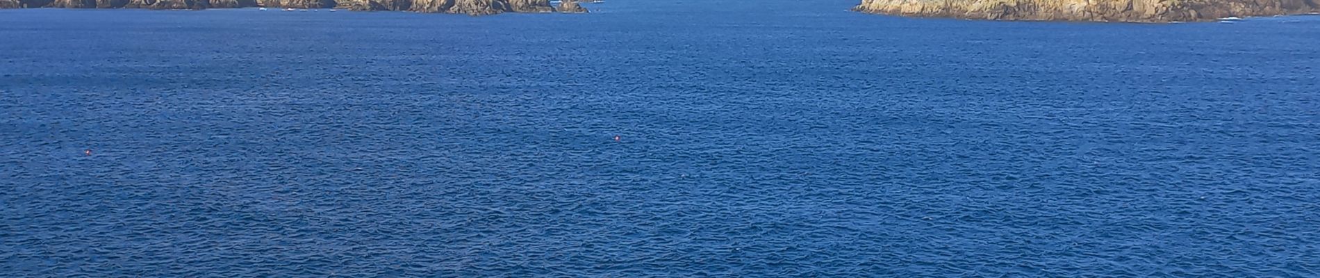
Côte Nord de l'ïle d'Ouessant

ilur56
User
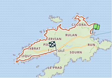

Length
18.3 km

Max alt
74 m

Uphill gradient
256 m
Km-Effort
22 km

Min alt
0 m

Downhill gradient
265 m
Boucle
No
Creation date :
2022-09-05 07:41:29.498
Updated on :
2022-09-09 12:34:25.087
4h52
Difficulty : Medium

FREE GPS app for hiking
 SityTrail
IGN / Geographical institutes
SityTrail Plus
The world is yours!
About
Trail Walking of 18.3 km to be discovered at Brittany, Finistère, Ushant. This trail is proposed by ilur56.
Description
Trajet en bus jusqu'à l'embarcadère du Stiff du bourg de Lampaul; Retour sur le sentier côtier jusqu'au bourg de Lampaul
Photos


Positioning
Country:
France
Region :
Brittany
Department/Province :
Finistère
Municipality :
Ushant
Location:
Unknown
Start:(Dec)
Start:(UTM)
347990 ; 5370524 (30U) N.
Comments