


Auzouer-en-Touraine - Circuit Bec Sec variante - 18.4km 220m 4h10 (30mn) - 2022 09 06

Orcal37
User GUIDE
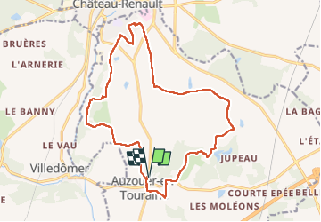

Length
18.4 km

Max alt
134 m

Uphill gradient
219 m
Km-Effort
21 km

Min alt
82 m

Downhill gradient
220 m
Boucle
Yes
Creation date :
2022-09-06 09:43:28.733
Updated on :
2022-09-06 17:49:02.165
4h10
Difficulty : Medium

FREE GPS app for hiking
 SityTrail
IGN / Geographical institutes
SityTrail Plus
The world is yours!
About
Trail Walking of 18.4 km to be discovered at Centre-Loire Valley, Indre-et-Loire, Auzouer-en-Touraine. This trail is proposed by Orcal37.
Description
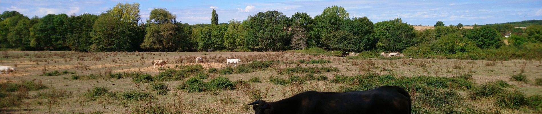
Auzouer-en-Touraine - Circuit Bec Sec variante car passage à travers champs au début de ma trace gps cf photos - 18.4km 220m 4h10 (30mn) - 2022 09 06
Photos
 - 2022 09 06 - Photo 1")
 - 2022 09 06 - Photo 2")
 - 2022 09 06 - Photo 3")
 - 2022 09 06 - Photo 4")
 - 2022 09 06 - Photo 5")
 - 2022 09 06 - Photo 6")
 - 2022 09 06 - Photo 7")
 - 2022 09 06 - Photo 8")
 - 2022 09 06 - Photo 9")
Positioning
Country:
France
Region :
Centre-Loire Valley
Department/Province :
Indre-et-Loire
Municipality :
Auzouer-en-Touraine
Location:
Unknown
Start:(Dec)
Start:(UTM)
343546 ; 5267808 (31T) N.
Comments