Trail On foot Pellafol - OBIOU - Photo
© OpenStreetMap contributors
Length
Length
10.4 km
Max alt
Max alt
2760 m
Uphill gradient
Uphill gradient
1213 m
Km-Effort
Km-Effort  
27 km
Min alt
Min alt
1548 m
Downhill gradient
Downhill gradient
1213 m
Boucle
Boucle
Yes
Creation date :
2022-09-07 15:52:14.338
Updated on :
2022-09-07 16:06:45.415

(0 Reviews)

On foot
On foot
6h02
Difficulty : Medium
Trail
Trail
4h00
Difficulty : Difficult

Scan this QR Code to open this trail in the SityTrail application

FREE GPS app for hiking

Logo SityTrail SityTrail

IGN / Geographical institutes

Download SityTrail from the App Store Download SityTrail from Google Play

Logo SityTrail SityTrail Plus

The world is yours!

Download SityTrail from the App Store Download SityTrail from Google Play Download SityTrail on Huawei AppGallery

About

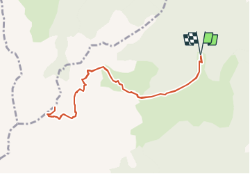
Trail On foot of 10.4 km to be discovered at Auvergne-Rhône-Alpes, Isère, Pellafol. This trail is proposed by Rando Hautes-Alpes.

Description

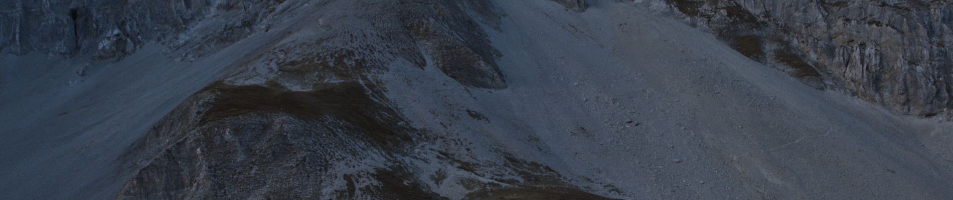
Rando dangereuse à faire par beau temps sec et avec des personnes ayant l\'habitude d\'évoluer en milieu montagnard  (personnes ayant  le vertige s\'abstenir).
Direction CORPS , Péllafol , au Payas prendre direction col de la samblue , se garer au chalet des baumes ou au col des Faîsses

Elevation profile

Photos

Positioning

Country:
France
Region :
Auvergne-Rhône-Alpes
Department/Province :
Isère
Municipality :
Pellafol
Location:
Unknown
Start:(UTM)
727487 ; 4963020 (31T) N.


Close
My subscriptions