


le Caunil bois Malo

taguette
User
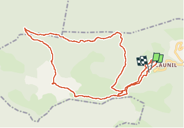

Length
14.2 km

Max alt
1460 m

Uphill gradient
710 m
Km-Effort
24 km

Min alt
861 m

Downhill gradient
705 m
Boucle
Yes
Creation date :
2022-09-09 10:01:03.004
Updated on :
2022-09-09 14:29:17.606
4h25
Difficulty : Difficult

FREE GPS app for hiking
 SityTrail
IGN / Geographical institutes
SityTrail Plus
The world is yours!
About
Trail Walking of 14.2 km to be discovered at Occitania, Aude, Salvezines. This trail is proposed by taguette.
Positioning
Country:
France
Region :
Occitania
Department/Province :
Aude
Municipality :
Salvezines
Location:
Unknown
Start:(Dec)
Start:(UTM)
441930 ; 4736551 (31T) N.
Comments