


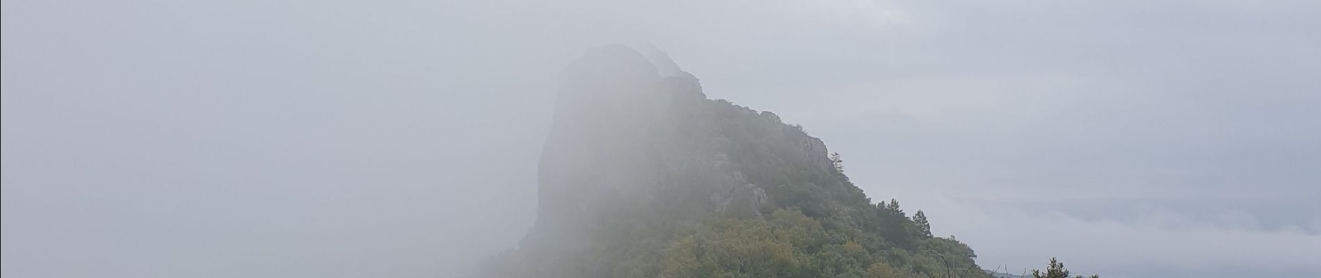
Pic D'Anjau

JMJ42
User
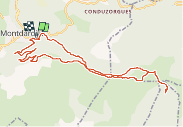

Length
13.5 km

Max alt
890 m

Uphill gradient
621 m
Km-Effort
22 km

Min alt
603 m

Downhill gradient
622 m
Boucle
Yes
Creation date :
2021-10-19 07:40:59.966
Updated on :
2022-09-09 14:45:52.629
4h20
Difficulty : Difficult

FREE GPS app for hiking
 SityTrail
IGN / Geographical institutes
SityTrail Plus
The world is yours!
About
Trail Walking of 13.5 km to be discovered at Occitania, Gard, Montdardier. This trail is proposed by JMJ42.
Photos

Positioning
Country:
France
Region :
Occitania
Department/Province :
Gard
Municipality :
Montdardier
Location:
Unknown
Start:(Dec)
Start:(UTM)
548036 ; 4863839 (31T) N.
Comments