


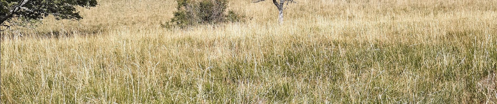
dans la forêt de Saou

andrechauvin
User
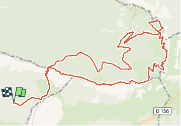

Length
18.3 km

Max alt
1565 m

Uphill gradient
1210 m
Km-Effort
34 km

Min alt
830 m

Downhill gradient
1211 m
Boucle
Yes
Creation date :
2022-09-09 07:07:31.17
Updated on :
2022-09-09 15:56:00.634
6h47
Difficulty : Difficult

FREE GPS app for hiking
 SityTrail
IGN / Geographical institutes
SityTrail Plus
The world is yours!
About
Trail Walking of 18.3 km to be discovered at Auvergne-Rhône-Alpes, Drôme, Mornans. This trail is proposed by andrechauvin.
Photos


Positioning
Country:
France
Region :
Auvergne-Rhône-Alpes
Department/Province :
Drôme
Municipality :
Mornans
Location:
Unknown
Start:(Dec)
Start:(UTM)
670490 ; 4943863 (31T) N.
Comments