


Enregistrement du 09/09/2022 15:49

Tof Tof
User

Length
10.2 km

Max alt
1575 m

Uphill gradient
607 m
Km-Effort
18.3 km

Min alt
964 m

Downhill gradient
610 m
Boucle
Yes
Creation date :
2022-09-09 13:49:40.707
Updated on :
2022-09-09 16:42:45.877
4h09
Difficulty : Difficult

FREE GPS app for hiking
 SityTrail
IGN / Geographical institutes
SityTrail Plus
The world is yours!
About
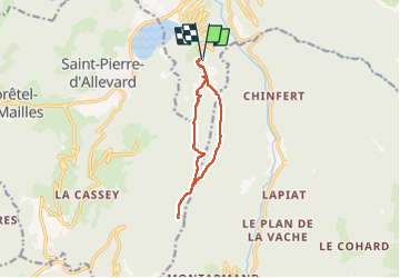
Trail Walking of 10.2 km to be discovered at Auvergne-Rhône-Alpes, Isère, Allevard. This trail is proposed by Tof Tof.
Description
Un enregistrement de randonnée réalisé avec SityTrail.
Positioning
Country:
France
Region :
Auvergne-Rhône-Alpes
Department/Province :
Isère
Municipality :
Allevard
Location:
Unknown
Start:(Dec)
Start:(UTM)
271080 ; 5028924 (32T) N.
Comments