


Rs gabas luquet2022

LouisROGER
User GUIDE

Length
3.8 km

Max alt
369 m

Uphill gradient
30 m
Km-Effort
4.2 km

Min alt
357 m

Downhill gradient
29 m
Boucle
Yes
Creation date :
2022-09-06 12:10:00.199
Updated on :
2022-09-10 12:31:10.949
2h19
Difficulty : Easy

FREE GPS app for hiking
 SityTrail
IGN / Geographical institutes
SityTrail Plus
The world is yours!
About
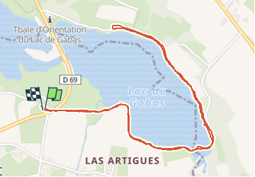
Trail Walking of 3.8 km to be discovered at Occitania, Hautespyrenees, Luquet. This trail is proposed by LouisROGER.
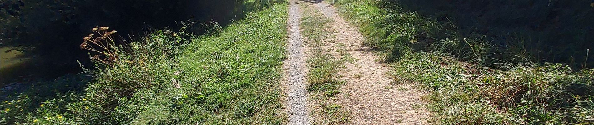
Photos

Positioning
Country:
France
Region :
Occitania
Department/Province :
Hautespyrenees
Municipality :
Luquet
Location:
Unknown
Start:(Dec)
Start:(UTM)
734170 ; 4794562 (30T) N.
Comments