


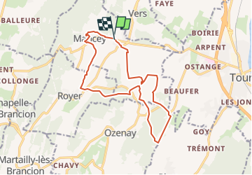


18.5 km | 25 km-effort


User


FREE GPS app for hiking
 SityTrail
IGN / Geographical institutes
SityTrail World
The world is yours!
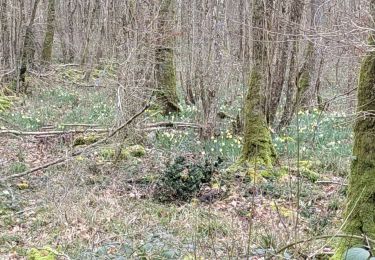
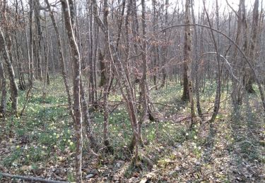
Trail Walking of 15.3 km to be discovered at Bourgogne-Franche-Comté, Saône-et-Loire, Mancey. This trail is proposed by grasgilbert.
essai rando Jean Claude
Walking
Walking

Walking
Walking
Walking
Walking
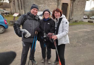
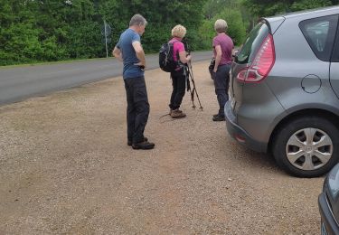
Nordic walking
Walking
Walking