


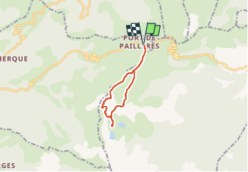
Pic de Tabesou

Clo0413
User

Length
9.6 km

Max alt
2351 m

Uphill gradient
604 m
Km-Effort
17.6 km

Min alt
1946 m

Downhill gradient
604 m
Boucle
Yes
Creation date :
2022-09-12 07:21:20.527
Updated on :
2022-09-13 16:20:57.976
3h38
Difficulty : Medium

FREE GPS app for hiking
 SityTrail
IGN / Geographical institutes
SityTrail Plus
The world is yours!
About
Trail Walking of 9.6 km to be discovered at Occitania, Ariège, Ascou. This trail is proposed by Clo0413.
Positioning
Country:
France
Region :
Occitania
Department/Province :
Ariège
Municipality :
Ascou
Location:
Unknown
Start:(Dec)
Start:(UTM)
417098 ; 4731681 (31T) N.
Comments