


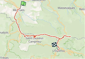
meyrues l'esperouvia le mont aigoual

RoMo
User

Length
31 km

Max alt
1562 m

Uphill gradient
1267 m
Km-Effort
46 km

Min alt
700 m

Downhill gradient
718 m
Boucle
No
Creation date :
2022-09-11 06:15:59.329
Updated on :
2022-09-12 19:42:12.337
8h54
Difficulty : Difficult

FREE GPS app for hiking
 SityTrail
IGN / Geographical institutes
SityTrail Plus
The world is yours!
About
Trail Walking of 31 km to be discovered at Occitania, Lozère, Meyrueis. This trail is proposed by RoMo.
Description
superbe parcours
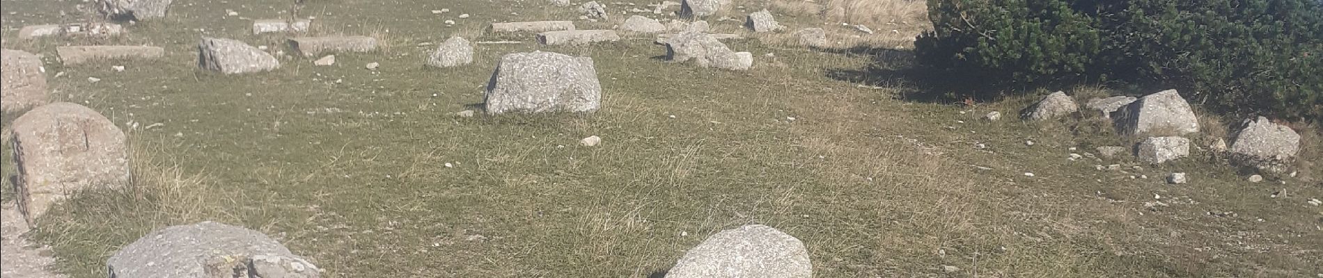
Photos


Positioning
Country:
France
Region :
Occitania
Department/Province :
Lozère
Municipality :
Meyrueis
Location:
Unknown
Start:(Dec)
Start:(UTM)
534751 ; 4891990 (31T) N.
Comments