


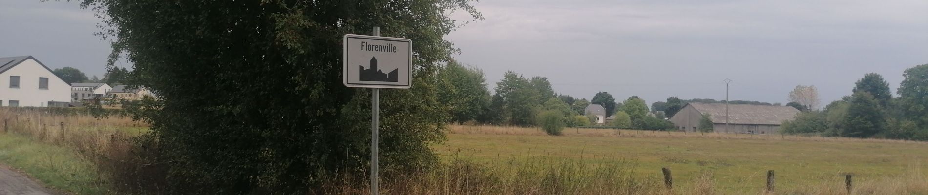
GR129 Virton-Florenville

Ronalddef
User
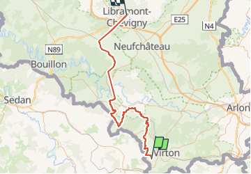

Length
93 km

Max alt
504 m

Uphill gradient
1752 m
Km-Effort
115 km

Min alt
209 m

Downhill gradient
1538 m
Boucle
No
Creation date :
2022-09-13 07:22:07.164
Updated on :
2022-09-18 17:46:01.335
8h35
Difficulty : Difficult

FREE GPS app for hiking
 SityTrail
IGN / Geographical institutes
SityTrail Plus
The world is yours!
About
Trail Nordic walking of 93 km to be discovered at Wallonia, Luxembourg, Rouvroy. This trail is proposed by Ronalddef.
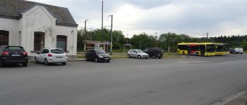
Photos


21 photos in total. Please click on a photo to see them all in the gallery.

Positioning
Country:
Belgium
Region :
Wallonia
Department/Province :
Luxembourg
Municipality :
Rouvroy
Location:
Unknown
Start:(Dec)
Start:(UTM)
678957 ; 5491782 (31U) N.
Comments