


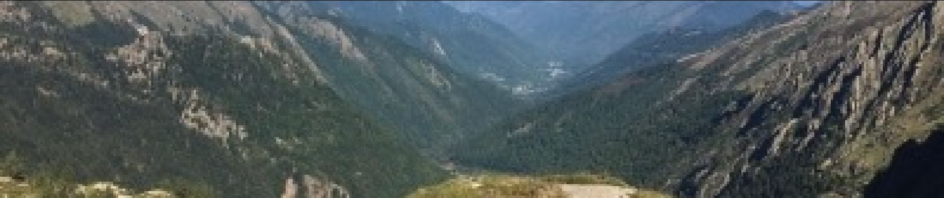
Cagateille - Certascan

ARVIEU
User


8h00
Difficulty : Very difficult

FREE GPS app for hiking
 SityTrail
IGN / Geographical institutes
SityTrail Plus
The world is yours!
About
Trail Walking of 10.4 km to be discovered at Occitania, Ariège, Ustou. This trail is proposed by ARVIEU.
Description
au Port de Couillac la trace emprunte côté Est un chemin qui n'est plus d'actualité, il reste quelques cairns pour se diriger. mais utiliser impérativement le GPS. Ce passage nous a quand même permis d'observer une harde d'isards. Sur la carte Alt Pirineu il existe une trace d'un GRT qui mène du Port de Couillac au refuge de Certascan.
Photos

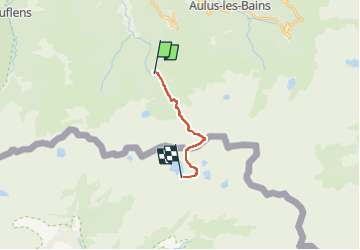
Positioning
Comments