


Aubrac j6

AMOURETTE
User

Length
22 km

Max alt
1015 m

Uphill gradient
507 m
Km-Effort
29 km

Min alt
700 m

Downhill gradient
677 m
Boucle
No
Creation date :
2022-09-10 06:01:20.349
Updated on :
2022-09-14 13:21:55.857
6h14
Difficulty : Very difficult

FREE GPS app for hiking
 SityTrail
IGN / Geographical institutes
SityTrail Plus
The world is yours!
About
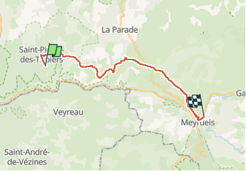
Trail Walking of 22 km to be discovered at Occitania, Lozère, Saint-Pierre-des-Tripiers. This trail is proposed by AMOURETTE.
Positioning
Country:
France
Region :
Occitania
Department/Province :
Lozère
Municipality :
Saint-Pierre-des-Tripiers
Location:
Unknown
Start:(Dec)
Start:(UTM)
522159 ; 4896162 (31T) N.
Comments