


Trace Azereix M2

mitch1952
User
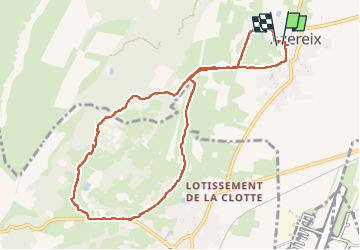

Length
10.4 km

Max alt
397 m

Uphill gradient
100 m
Km-Effort
11.7 km

Min alt
338 m

Downhill gradient
104 m
Boucle
Yes
Creation date :
2022-09-14 11:44:34.0
Updated on :
2022-09-14 14:25:20.696
2h39
Difficulty : Unknown

FREE GPS app for hiking
 SityTrail
IGN / Geographical institutes
SityTrail Plus
The world is yours!
About
Trail Walking of 10.4 km to be discovered at Occitania, Hautespyrenees, Azereix. This trail is proposed by mitch1952.
Positioning
Country:
France
Region :
Occitania
Department/Province :
Hautespyrenees
Municipality :
Azereix
Location:
Unknown
Start:(Dec)
Start:(UTM)
742869 ; 4788438 (30T) N.
Comments