Trail Walking Auzat - Fourcat  - Photo
© OpenStreetMap contributors
Length
Length
15.7 km
Max alt
Max alt
2868 m
Uphill gradient
Uphill gradient
834 m
Km-Effort
Km-Effort  
31 km
Min alt
Min alt
1153 m
Downhill gradient
Downhill gradient
2119 m
Boucle
Boucle
No
Creation date :
2022-09-11 06:10:24.0
Updated on :
2022-10-04 07:18:25.775

(0 Reviews)

Walking
Walking
8h07
Difficulty : Very difficult

Scan this QR Code to open this trail in the SityTrail application

FREE GPS app for hiking

Logo SityTrail SityTrail

IGN / Geographical institutes

Download SityTrail from the App Store Download SityTrail from Google Play

Logo SityTrail SityTrail World

The world is yours!

Download SityTrail from the App Store Download SityTrail from Google Play Download SityTrail on Huawei AppGallery

About

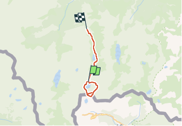
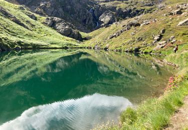
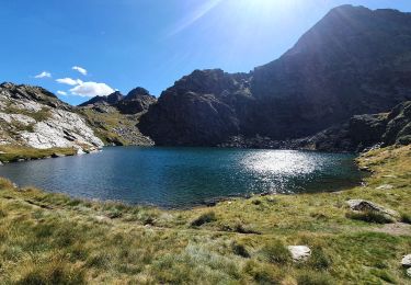
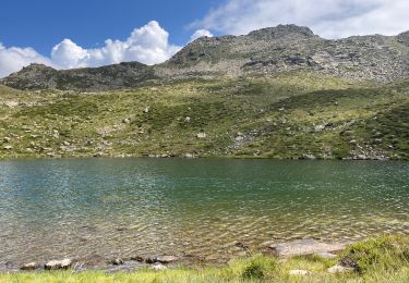
Trail Walking of 15.7 km to be discovered at Occitania, Ariège, Auzat. This trail is proposed by georghinio.

Description

Départ du parking de la centrale de Pradière, passez le barrage d'Izourt et montée dure et longue vers le refuge du Fourcat.
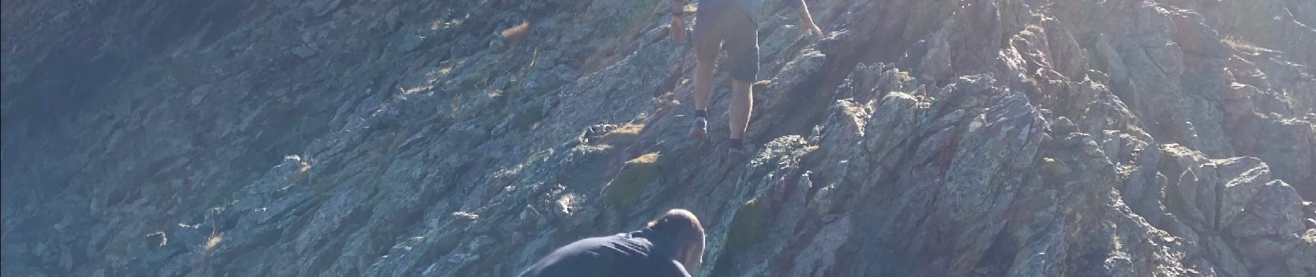
Sur cette rando nous avons passé une nuit au refuge et au matin montée caillouteuse vers le Pic de Tristane puis boucle par l'Espagne et le port de l'Abeille, passez l'2tang de la Goueille.
Puis 2 options, soit revenir au refuge et prendre le même chemin qu'à l'allée soit redescendre par les étangs de Petsiguer.

Elevation profile

Photos

Positioning

Country:
France
Region :
Occitania
Department/Province :
Ariège
Municipality :
Auzat
Location:
Unknown
Start:(UTM)
376205 ; 4724687 (31T) N.

Trails nearby

Trail Walking Auzat - Le Picot - Photo
Walking
beautrix

Walking

Difficult
(2)
Auzat, Occitania, Ariège, France
6.3 km | 18.9 km-effort
4h 0min
No
Trail Walking Auzat - Les étangs de la Gardelle - Auzat - Photo
Walking
tracegps

Walking

Difficult
(2)
Auzat, Occitania, Ariège, France
8.3 km | 21 km-effort
6h 0min
Yes
Trail Walking Auzat - Domaine de Montcalm -port Rat Pic Rouge  - Photo
Walking
altaya

Walking

Very difficult
Auzat, Occitania, Ariège, France
17.1 km | 39 km-effort
10h 8min
Yes
Trail Walking Auzat - Tour des lacs - Sarroucanes - Photo
Walking
altaya

Walking

Very difficult
Auzat, Occitania, Ariège, France
16 km | 0 m-effort
8h 42min
No
Trail Walking Auzat - Caraussans - Photo
Walking
georghinio

Walking

Very difficult
Auzat, Occitania, Ariège, France
19.6 km | 41 km-effort
9h 16min
Yes
Trail Walking Auzat - Boucle etangs de la Gardelle - Photo
Walking
prous31

Walking

Difficult
Auzat, Occitania, Ariège, France
10.9 km | 23 km-effort
4h 45min
Yes
Trail Walking Auzat - Randonnée des étangs de Sarroucane au pic de la rouge - Photo
Walking
altaya

Walking

Very difficult
(1)
Auzat, Occitania, Ariège, France
16 km | 34 km-effort
8h 1min
Yes
Trail Walking Auzat - pic de Malcaras - Photo
Walking
chrisgps

Walking

Difficult
Auzat, Occitania, Ariège, France
7.6 km | 23 km-effort
6h 59min
Yes
Trail On foot Auzat - Pic de Caraussans - Photo
On foot
philou6351

On foot

Medium
(1)
Auzat, Occitania, Ariège, France
10.8 km | 24 km-effort
Unknown
Yes


Close
My subscriptions