


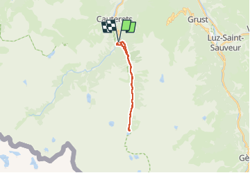
j1 lac d'estom depuis la raillère

07es18
User

Length
18.4 km

Max alt
1823 m

Uphill gradient
799 m
Km-Effort
29 km

Min alt
1043 m

Downhill gradient
796 m
Boucle
Yes
Creation date :
2022-09-13 06:59:13.773
Updated on :
2022-09-20 06:00:17.67
8h12
Difficulty : Difficult

FREE GPS app for hiking
 SityTrail
IGN / Geographical institutes
SityTrail Plus
The world is yours!
About
Trail Walking of 18.4 km to be discovered at Occitania, Hautespyrenees, Cauterets. This trail is proposed by 07es18.
Positioning
Country:
France
Region :
Occitania
Department/Province :
Hautespyrenees
Municipality :
Cauterets
Location:
Unknown
Start:(Dec)
Start:(UTM)
736100 ; 4750713 (30T) N.
Comments