


fleurieu

ppn
User

Length
10.9 km

Max alt
310 m

Uphill gradient
159 m
Km-Effort
13.2 km

Min alt
180 m

Downhill gradient
200 m
Boucle
No
Creation date :
2022-09-16 06:46:22.858
Updated on :
2022-09-16 09:50:26.929
3h02
Difficulty : Medium

FREE GPS app for hiking
 SityTrail
IGN / Geographical institutes
SityTrail Plus
The world is yours!
About
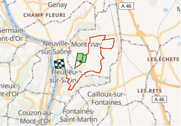
Trail Walking of 10.9 km to be discovered at Auvergne-Rhône-Alpes, Métropole de Lyon, Montanay. This trail is proposed by ppn.
Positioning
Country:
France
Region :
Auvergne-Rhône-Alpes
Department/Province :
Métropole de Lyon
Municipality :
Montanay
Location:
Unknown
Start:(Dec)
Start:(UTM)
643761 ; 5080842 (31T) N.
Comments