


Malaucene Groseau

Clead2
User
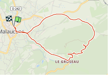

Length
5.5 km

Max alt
484 m

Uphill gradient
149 m
Km-Effort
7.5 km

Min alt
326 m

Downhill gradient
150 m
Boucle
Yes
Creation date :
2022-09-16 08:54:55.0
Updated on :
2022-09-16 10:20:56.922
1h24
Difficulty : Very easy

FREE GPS app for hiking
 SityTrail
IGN / Geographical institutes
SityTrail Plus
The world is yours!
About
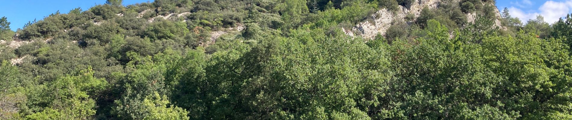
Trail Walking of 5.5 km to be discovered at Provence-Alpes-Côte d'Azur, Vaucluse, Malaucène. This trail is proposed by Clead2.
Photos


Positioning
Country:
France
Region :
Provence-Alpes-Côte d'Azur
Department/Province :
Vaucluse
Municipality :
Malaucène
Location:
Unknown
Start:(Dec)
Start:(UTM)
670511 ; 4893448 (31T) N.
Comments