


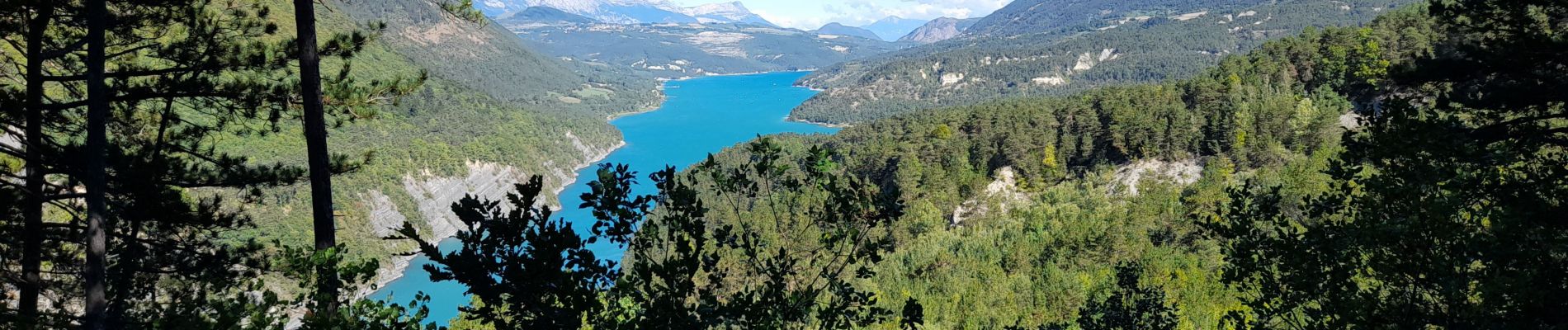
ISERE: MONTEYNARD PASSERELLES HIMALAYENNES

djeepee74
User


3h52
Difficulty : Medium

FREE GPS app for hiking
 SityTrail
IGN / Geographical institutes
SityTrail Plus
The world is yours!
About
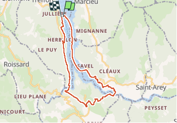
Trail Walking of 16.1 km to be discovered at Auvergne-Rhône-Alpes, Isère, Treffort. This trail is proposed by djeepee74.
Description
BOUCLE... live du 20220917
12,5 Km à pied 3,5 Km de traversée en bateau (uniquement du 01 mai au 30 sept.)... réservation en ligne obligatoire.
A la sortie de la passerelle de l'Ebron, le retour peut s'effectuer par les sentiers forestiers et sportifs (balisés)... durée et distance quasi identiques.
Photos


Positioning
Comments