


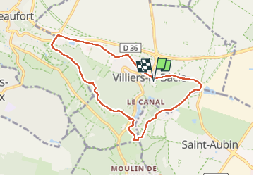
Rumba à Villiers le Bacle 2

philou91
User

Length
7.9 km

Max alt
160 m

Uphill gradient
120 m
Km-Effort
9.5 km

Min alt
82 m

Downhill gradient
120 m
Boucle
Yes
Creation date :
2022-09-17 12:11:23.646
Updated on :
2022-09-17 14:45:33.736
2h33
Difficulty : Medium

FREE GPS app for hiking
 SityTrail
IGN / Geographical institutes
SityTrail Plus
The world is yours!
About
Trail Walking of 7.9 km to be discovered at Ile-de-France, Essonne, Villiers-le-Bâcle. This trail is proposed by philou91.
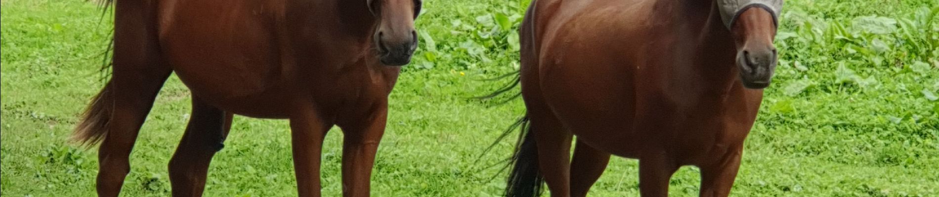
Photos

Positioning
Country:
France
Region :
Ile-de-France
Department/Province :
Essonne
Municipality :
Villiers-le-Bâcle
Location:
Unknown
Start:(Dec)
Start:(UTM)
435789 ; 5397293 (31U) N.
Comments