


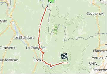
Bauges 3J étape 3 : Les Ailes du Nant - Parking du Nant Fourchu

Mariolebeno
User

Length
18.6 km

Max alt
1344 m

Uphill gradient
573 m
Km-Effort
27 km

Min alt
777 m

Downhill gradient
896 m
Boucle
No
Creation date :
2022-09-18 09:50:33.294
Updated on :
2022-09-26 08:03:13.094
5h00
Difficulty : Easy

FREE GPS app for hiking
 SityTrail
IGN / Geographical institutes
SityTrail Plus
The world is yours!
About
Trail Walking of 18.6 km to be discovered at Auvergne-Rhône-Alpes, Upper Savoy, Doussard. This trail is proposed by Mariolebeno.
Positioning
Country:
France
Region :
Auvergne-Rhône-Alpes
Department/Province :
Upper Savoy
Municipality :
Doussard
Location:
Unknown
Start:(Dec)
Start:(UTM)
281262 ; 5068618 (32T) N.
Comments