


Poigny sud

bern2zero
User
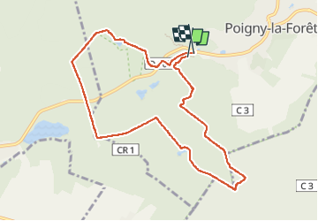

Length
9 km

Max alt
178 m

Uphill gradient
114 m
Km-Effort
10.6 km

Min alt
136 m

Downhill gradient
126 m
Boucle
Yes
Creation date :
2022-09-18 10:09:31.0
Updated on :
2022-09-18 12:10:31.568
2h00
Difficulty : Medium

FREE GPS app for hiking
 SityTrail
IGN / Geographical institutes
SityTrail Plus
The world is yours!
About
Trail Walking of 9 km to be discovered at Ile-de-France, Yvelines, Poigny-la-Forêt. This trail is proposed by bern2zero.
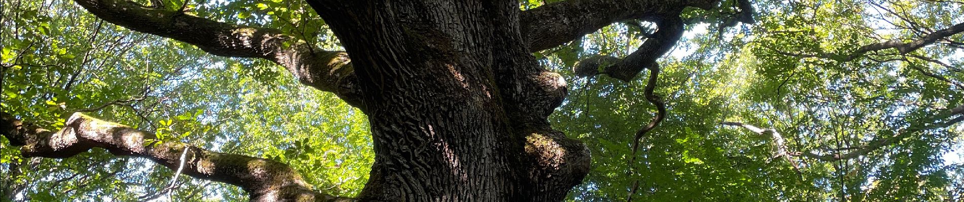
Photos


Positioning
Country:
France
Region :
Ile-de-France
Department/Province :
Yvelines
Municipality :
Poigny-la-Forêt
Location:
Unknown
Start:(Dec)
Start:(UTM)
406986 ; 5391773 (31U) N.
Comments