


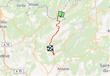
Le randas st guilhem le désert

RoMo
User

Length
21 km

Max alt
738 m

Uphill gradient
468 m
Km-Effort
29 km

Min alt
96 m

Downhill gradient
951 m
Boucle
No
Creation date :
2022-09-15 05:56:58.219
Updated on :
2022-09-19 13:03:27.782
6h35
Difficulty : Difficult

FREE GPS app for hiking
 SityTrail
IGN / Geographical institutes
SityTrail Plus
The world is yours!
About
Trail Walking of 21 km to be discovered at Occitania, Hérault, Saint-Maurice-Navacelles. This trail is proposed by RoMo.
Description
très beau parcours dans la nature
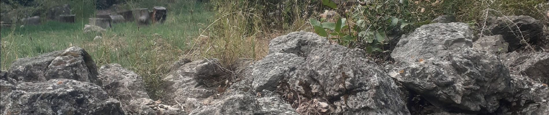
Photos


Positioning
Country:
France
Region :
Occitania
Department/Province :
Hérault
Municipality :
Saint-Maurice-Navacelles
Location:
Unknown
Start:(Dec)
Start:(UTM)
545280 ; 4854719 (31T) N.
Comments