


La banne d’ordanche
© OpenStreetMap contributors


3h48
Difficulty : Difficult


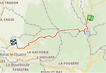
Length
10 km
Max alt
1471 m
Uphill gradient
270 m
Km-Effort
14.1 km
Min alt
1095 m
Downhill gradient
433 m
Boucle
No
Creation date :
2022-09-24 07:05:06.0
Updated on :
2022-09-24 11:03:27.628
3h48
Difficulty : Difficult
FREE GPS app for hiking
 SityTrail
IGN / Geographical institutes
SityTrail Plus
The world is yours!
About
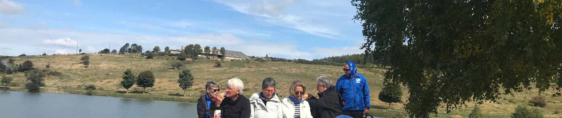
Trail Walking of 10 km to be discovered at Auvergne-Rhône-Alpes, Puy-de-Dôme, Orcival. This trail is proposed by 001684.da93e47b4c1543cdba58b05a314a4094.1618.
Photos

Positioning
Country:
France
Region :
Auvergne-Rhône-Alpes
Department/Province :
Puy-de-Dôme
Municipality :
Orcival
Location:
Unknown
Start:(Dec)
Start:(UTM)
486004 ; 5052098 (31T) N.
Comments