


Pasly du 24-09-2022

VANDERPUTTENMi
User GUIDE
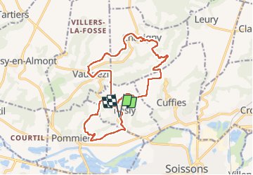

Length
16.6 km

Max alt
147 m

Uphill gradient
272 m
Km-Effort
20 km

Min alt
48 m

Downhill gradient
271 m
Boucle
Yes
Creation date :
2022-09-24 07:23:53.03
Updated on :
2022-09-26 16:08:09.975
3h41
Difficulty : Very difficult

FREE GPS app for hiking
 SityTrail
IGN / Geographical institutes
SityTrail Plus
The world is yours!
About
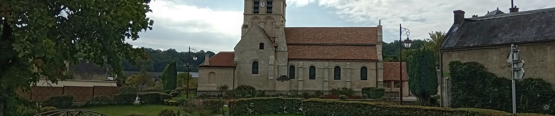
Trail Walking of 16.6 km to be discovered at Hauts-de-France, Aisne, Pasly. This trail is proposed by VANDERPUTTENMi.
Photos


Positioning
Country:
France
Region :
Hauts-de-France
Department/Province :
Aisne
Municipality :
Pasly
Location:
Unknown
Start:(Dec)
Start:(UTM)
521390 ; 5471990 (31U) N.
Comments